Cookies Policy
The website need some cookies and similar means to function. If you permit us, we will use those means to collect data on your visits for aggregated statistics to improve our service. Find out More
Accept Reject
  • Menu
About

About

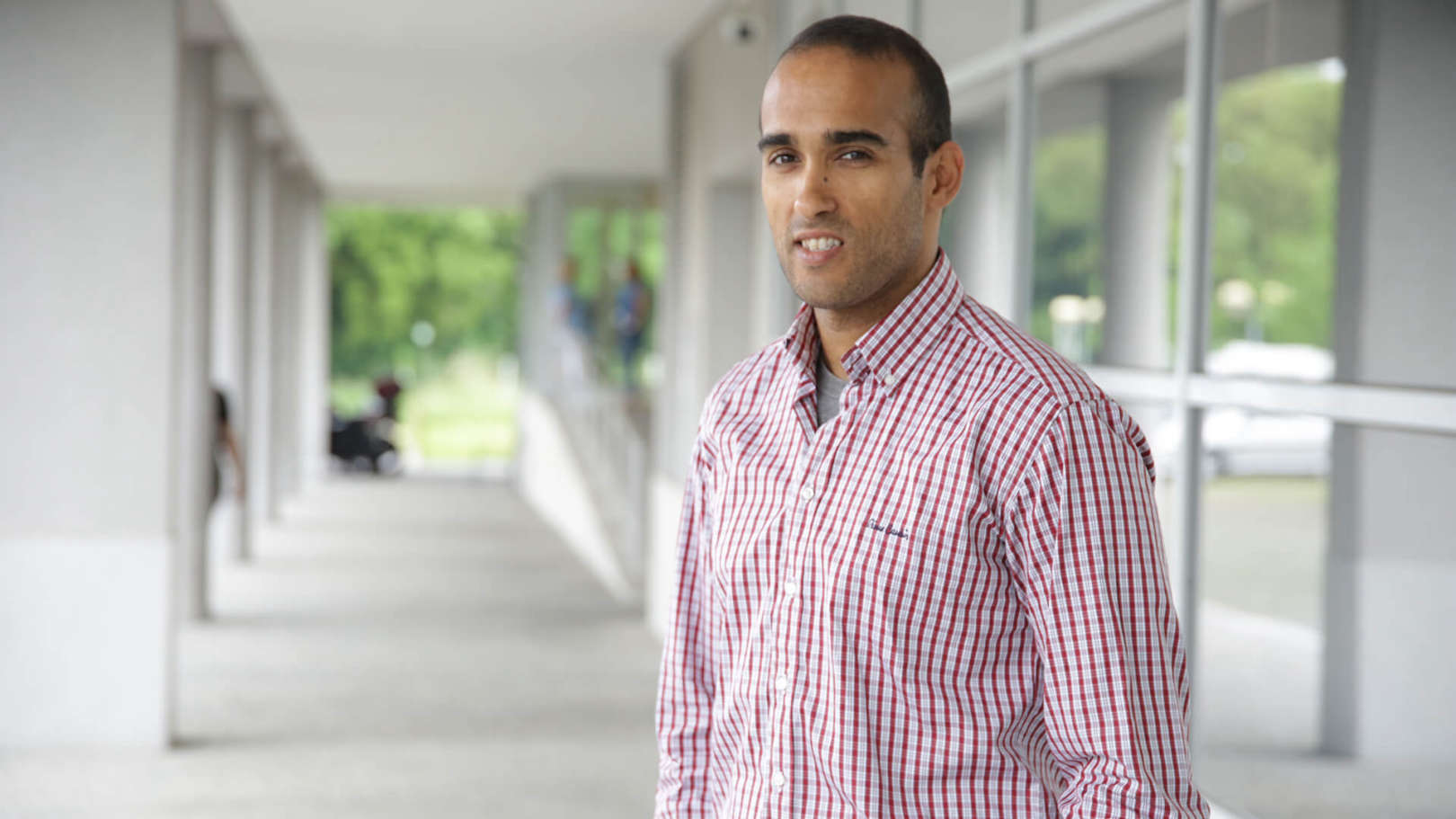
I am a researcher at the Centre for Robotics and Autonomous Systems (CRAS). In 2008 I received the degree of MS in Electrical and Computer Engineering from the University of Porto. In 2017 I received the degree of PhD in Electrical and Computer Engineering from the University of Porto. My thesis focused in minehunting mission planning using autonomous underwater vehicles. My research activity is mainly focused on robotics in research topics such as path planning and artificial intelligence. I also work as a systems engineer on our vehicles and develop software as required.

Interest
Topics
Details

Details

009
Publications

2022

An Autonomous System for Collecting Water Samples from the Surface

Authors
Pinto, AF; Cruz, NA; Ferreira, BM; Abreu, NM; Goncalves, CE; Villa, MP; Matos, AC; Honorio, LD; Westin, LG;

Publication
OCEANS 2022

Abstract

2021

A Novel Simulation Platform for Underwater Data Muling Communications Using Autonomous Underwater Vehicles

Authors
Teixeira, FB; Ferreira, BM; Moreira, N; Abreu, N; Villa, M; Loureiro, JP; Cruz, NA; Alves, JC; Ricardo, M; Campos, R;

Publication
Comput.

Abstract
Autonomous Underwater Vehicles (AUVs) are seen as a safe and cost-effective platforms for performing a myriad of underwater missions. These vehicles are equipped with multiple sensors which, combined with their long endurance, can produce large amounts of data, especially when used for video capturing. These data need to be transferred to the surface to be processed and analyzed. When considering deep sea operations, where surfacing before the end of the mission may be unpractical, the communication is limited to low bitrate acoustic communications, which make unfeasible the timely transmission of large amounts of data unfeasible. The usage of AUVs as data mules is an alternative communications solution. Data mules can be used to establish a broadband data link by combining short-range, high bitrate communications (e.g., RF and wireless optical) with a Delay Tolerant Network approach. This paper presents an enhanced version of UDMSim, a novel simulation platform for data muling communications. UDMSim is built upon a new realistic AUV Motion and Localization (AML) simulator and Network Simulator 3 (ns-3). It can simulate the position of the data mules, including localization errors, realistic position control adjustments, the received signal, the realistic throughput adjustments, and connection losses due to the fast SNR change observed underwater. The enhanced version includes a more realistic AML simulator and the antenna radiation patterns to help evaluating the design and relative placement of underwater antennas. The results obtained using UDMSim show a good match with the experimental results achieved using an underwater testbed. UDMSim is made available to the community to support easy and faster evaluation of underwater data muling oriented communications solutions and to enable offline replication of real world experiments.

2021

ATLANTIS - The Atlantic Testing Platform for Maritime Robotics

Authors
Pinto A.M.; Marques J.V.A.; Campos D.F.; Abreu N.; Matos A.; Jussi M.; Berglund R.; Halme J.; Tikka P.; Formiga J.; Verrecchia C.; Langiano S.; Santos C.; Sa N.; Stoker J.J.; Calderoni F.; Govindaraj S.; But A.; Gale L.; Ribas D.; Hurtos N.; Vidal E.; Ridao P.; Chieslak P.; Palomeras N.; Barberis S.; Aceto L.;

Publication
Oceans Conference Record (IEEE)

Abstract

2020

UDMSim: A Simulation Platform for Underwater Data Muling Communications

Authors
Teixeira, FB; Moreira, N; Abreu, N; Ferreira, B; Ricardo, M; Campos, R;

Publication
2020 16TH INTERNATIONAL CONFERENCE ON WIRELESS AND MOBILE COMPUTING, NETWORKING AND COMMUNICATIONS (WIMOB)

Abstract
The use of Autonomous Underwater Vehicles (AUVs) is increasingly seen as a cost-effective way to carry out underwater missions. Due to their long endurance and set of sensors onboard, AUVs may collect large amounts of data, in the order of Gbytes, which need to be transferred to shore. State of the art wireless technologies suffer either from low bitrates or limited range. Since surfacing may be unpractical, especially for deep sea operations, long-range underwater data transfer is limited to the use of low bitrate acoustic communications, precluding the timely transmission of large amounts of data. The use of data mules combined with short-range, high bitrate RF or optical communications has been proposed as a solution to overcome the problem.In this paper we describe the implementation and validation of UDMSim, a simulation platform for underwater data muling oriented systems that combines an AUV simulator and the Network Simulator 3 (ns-3). The results presented in this paper show a good match between UDMSim, a theoretical model, and the experimental results obtained by using an underwater testbed when no localization errors exist. When these errors are present, the simulator is able to reproduce the navigation of AUVs that act as data mules, adjust the throughput, and simulate the signal and connection losses that the theoretical model can not predict, but that will occur in reality. UDMSim is made available to the community to support easy and faster evaluation of data muling oriented underwater communications solutions, and enable offline replication of real world experiments. © 2020 IEEE.

2017

Accounting for uncertainty in search operations using AUVs

Authors
Abreu, N; Cruz, N; Matos, A;

Publication
2017 IEEE OES International Symposium on Underwater Technology, UT 2017

Abstract
Traditional coverage path planners create lawnmower-type paths in the operating area completely ignoring the uncertainty in the vehicle's position. However, in the presence of significant uncertainty in localization estimates, one can no longer guarantee that the vehicle will cover all the area according to plan. Aiming to bridge this gap, we present a coverage path planning technique for search operations which takes into account the vehicle's position and detection performance uncertainties and tries to minimize this uncertainty along the planned path. The objective is to plan paths, using a localization error model as input, to reduce as much uncertainty as possible and to minimize the extra path length (swath overlap) while satisfying mission feasibility constraints. We introduce an algorithm that calculates what will be the best moments for bringing the vehicle to surface to ensure a bounded position error. We also consider time and energy constraints that may influence the planned trajectory as path overlap is increased to account for uncertainty. Additionally we challenge the assumption frequently seen in coverage algorithms where two observations of the same target are considered independent. © 2017 IEEE.