Cookies Policy
The website need some cookies and similar means to function. If you permit us, we will use those means to collect data on your visits for aggregated statistics to improve our service. Find out More
Accept Reject
  • Menu
About

About

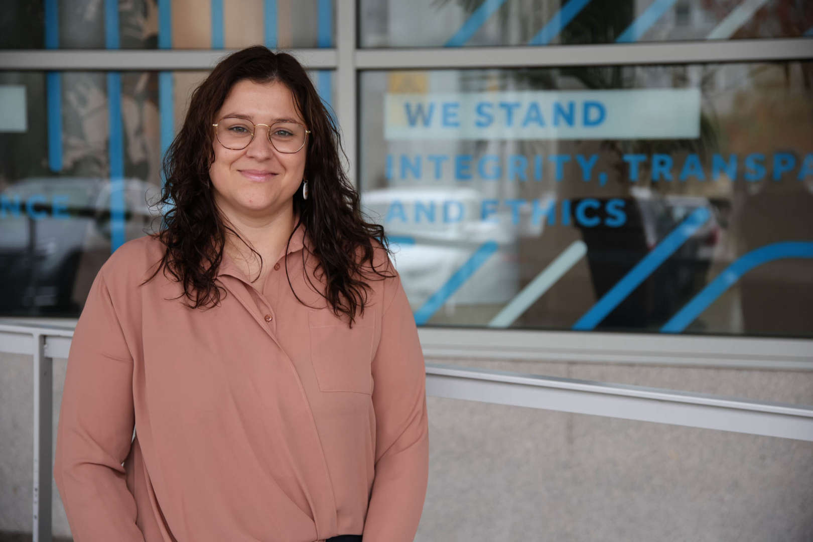
Em Fevereiro de 2017 conclui o Mestrado Integrado em Engenharia Eletrotécnica e de Computadores na Faculdade de Engenharia da Universidade do Porto. A ligação ao Centro de Robótica e Sistemas (CRAS) iniciou-se aquando a realização da minha dissertação, cujo objetivo era  o mapeamento do fundo do mar bem como das estruturas subaquáticas nele presentes, utilizando um método de estimação de movimento visual. Desde Maio do mesmo ano, sou bolseira do CRAS. Estive envolvida no projeto de um sistema de localização baseado em recetores GPS e sistema inercial e, neste momento, a minha área de trabalho será focada na visão e a percepção.       

Interest
Topics
Details

Details

Publications

2023

Limit Characterization for Visual Place Recognition in Underwater Scenes

Authors
Gaspar, AR; Nunes, A; Matos, A;

Publication
ROBOT2022: FIFTH IBERIAN ROBOTICS CONFERENCE: ADVANCES IN ROBOTICS, VOL 1

Abstract
The underwater environment has some structures that still need regular inspection. However, the nature of this environment presents a number of challenges in achieving accurate vehicle position and consequently successful image similarity detection. Although there are some factors - water turbidity or light attenuation - that degrade the quality of the captured images, visual sensors have shown a strong impact on mission scenarios - close range operations. Therefore, the purpose of this paper is to study whether these data are capable of addressing the aforementioned underwater challenges on their own. Considering the lack of available data in this context, a typical underwater scenario was recreated using the Stonefish simulator. Experiments were conducted on two predefined trajectories containing appearance scene changes. The loop closure situations provided by the bag-of-words (BoW) approach are correctly detected, but it is sensitive to some severe conditions.

2021

Evaluation of Bags of Binary Words for Place Recognition in Challenging Scenarios

Authors
Gaspar, AR; Nunes, A; Matos, A;

Publication
2021 IEEE INTERNATIONAL CONFERENCE ON AUTONOMOUS ROBOT SYSTEMS AND COMPETITIONS (ICARSC)

Abstract
To perform autonomous tasks, robots in real-world environments must be able to navigate in dynamic and unknown spaces. To do so, they must recognize previously seen places to compensate for accumulated positional deviations. This task requires effective identification of recovered landmarks to produce a consistent map, and the use of binary descriptors is increasing, especially because of their compact representation. The visual Bag-of-Words (BoW) algorithm is one of the most commonly used techniques to perform appearance-based loop closure detection quickly and robustly. Therefore, this paper presents a behavioral evaluation of a conventional BoW scheme based on Oriented FAST and Rotated BRIEF (ORB) features for image similarity detection in challenging scenarios. For each scenario, full-indexing vocabularies are created to model the operating environment and evaluate the performance for recognizing previously seen places similar to online approaches. Experiments were conducted on multiple public datasets containing scene changes, perceptual aliasing conditions, or dynamic elements. The Bag of Binary Words technique shows a good balance to deal with such severe conditions at a low computational cost.

2021

Occupancy Grid Mapping from 2D SONAR Data for Underwater Scenes

Authors
Nunes, A; Gaspar, AR; Matos, A;

Publication
OCEANS 2021: San Diego – Porto

Abstract

2019

A mosaicking technique for object identification in underwater environments

Authors
Nunes, AP; Silva Gaspar, ARS; Pinto, AM; Matos, AC;

Publication
SENSOR REVIEW

Abstract
Purpose This paper aims to present a mosaicking method for underwater robotic applications, whose result can be provided to other perceptual systems for scene understanding such as real-time object recognition. Design/methodology/approach This method is called robust and large-scale mosaicking (ROLAMOS) and presents an efficient frame-to-frame motion estimation with outlier removal and consistency checking that maps large visual areas in high resolution. The visual mosaic of the sea-floor is created on-the-fly by a robust registration procedure that composes monocular observations and manages the computational resources. Moreover, the registration process of ROLAMOS aligns the observation to the existing mosaic. Findings A comprehensive set of experiments compares the performance of ROLAMOS to other similar approaches, using both data sets (publicly available) and live data obtained by a ROV operating in real scenes. The results demonstrate that ROLAMOS is adequate for mapping of sea-floor scenarios as it provides accurate information from the seabed, which is of extreme importance for autonomous robots surveying the environment that does not rely on specialized computers. Originality/value The ROLAMOS is suitable for robotic applications that require an online, robust and effective technique to reconstruct the underwater environment from only visual information.

2019

Three-dimensional mapping in underwater environment

Authors
Nunes, A; Matos, A;

Publication
U.Porto Journal of Engineering

Abstract
Autonomous underwater vehicles are applied in diverse fields, namely in tasks that are risky for human beings to perform, as optical inspection for the purpose of structures quality control. Optical sensors are more appealing cost and they supply a larger quantity of data. Lasers can be used to reconstruct structures in three dimensions, along with cameras, which create a faithful representation of the environment. However, in this context a visual approach was used and the paper presents a method that can put together the three-dimensional information that has been harvested over time, combining also RGB information for surface reconstruction. The map construction follows the motion estimated by a odometry method previously selected from the literature. Experiments conducted using real scenario show that the proposed solution is able to provide a reliable map for objects and even the seafloor.